- English
- اردو
Languages:
This site is created using Wikimapia data. Wikimapia is an open-content collaborative map project contributed by volunteers around the world. It contains information about 32802417 places and counting.
Learn more about Wikimapia and cityguides.
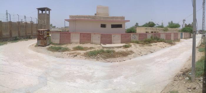
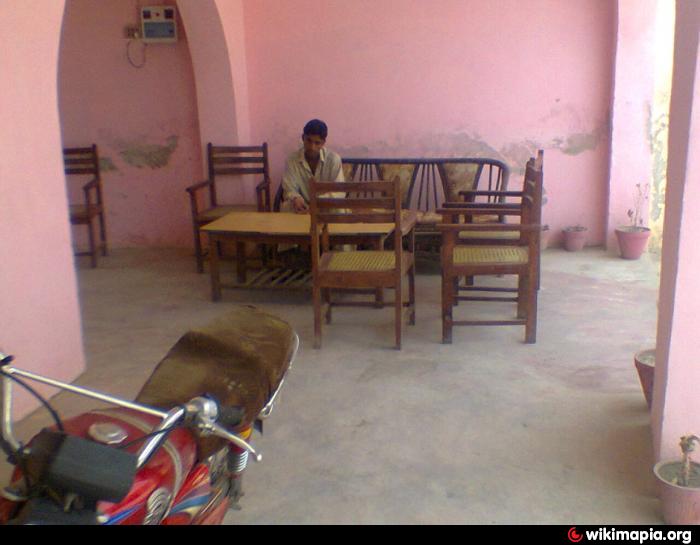
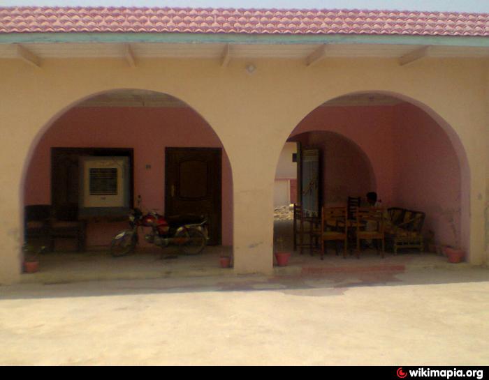
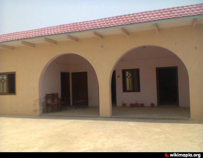
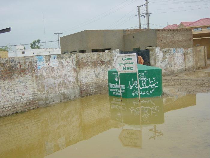
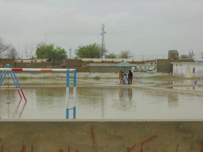
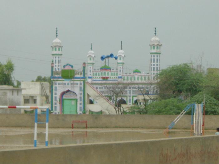
Dera Allah Yar
Dera Allah Yar Balochistan
Wikipedia article: http://en.wikipedia.org/wiki/Dera_Allah_Yar
Dera Allah Yar on the map.
Recent city comments: